World Maps
International
Breakwater
Directory
![]()
|
International
|
|
|
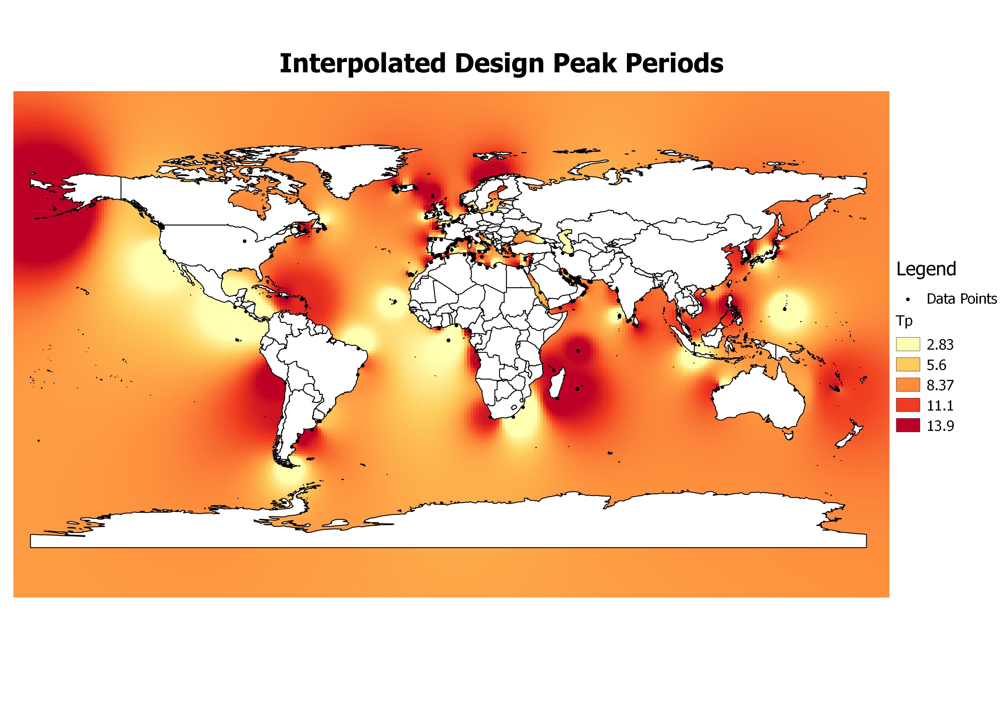
This figure shows design wave peak period in seconds interpolated in the global scale.
Important note : The interpolation on the maps was performed using the Inverse Distance Weighting Method with parameter value 3.5. These maps are meant for a qualitative overview and not for design.
This is a database prepared by HR Wallingford and TU Delft with the assistance of the international breakwater community and has been made freely available for the benefit of breakwater designers, contractors owners and developers worldwide. The database is subject to regular updating as information becomes available, however the development and maintenance of this database relies primarily on information supplied or published by third parties and no responsibility can be taken for the accuracy of data supplied.